 Visit Edinburgh Guide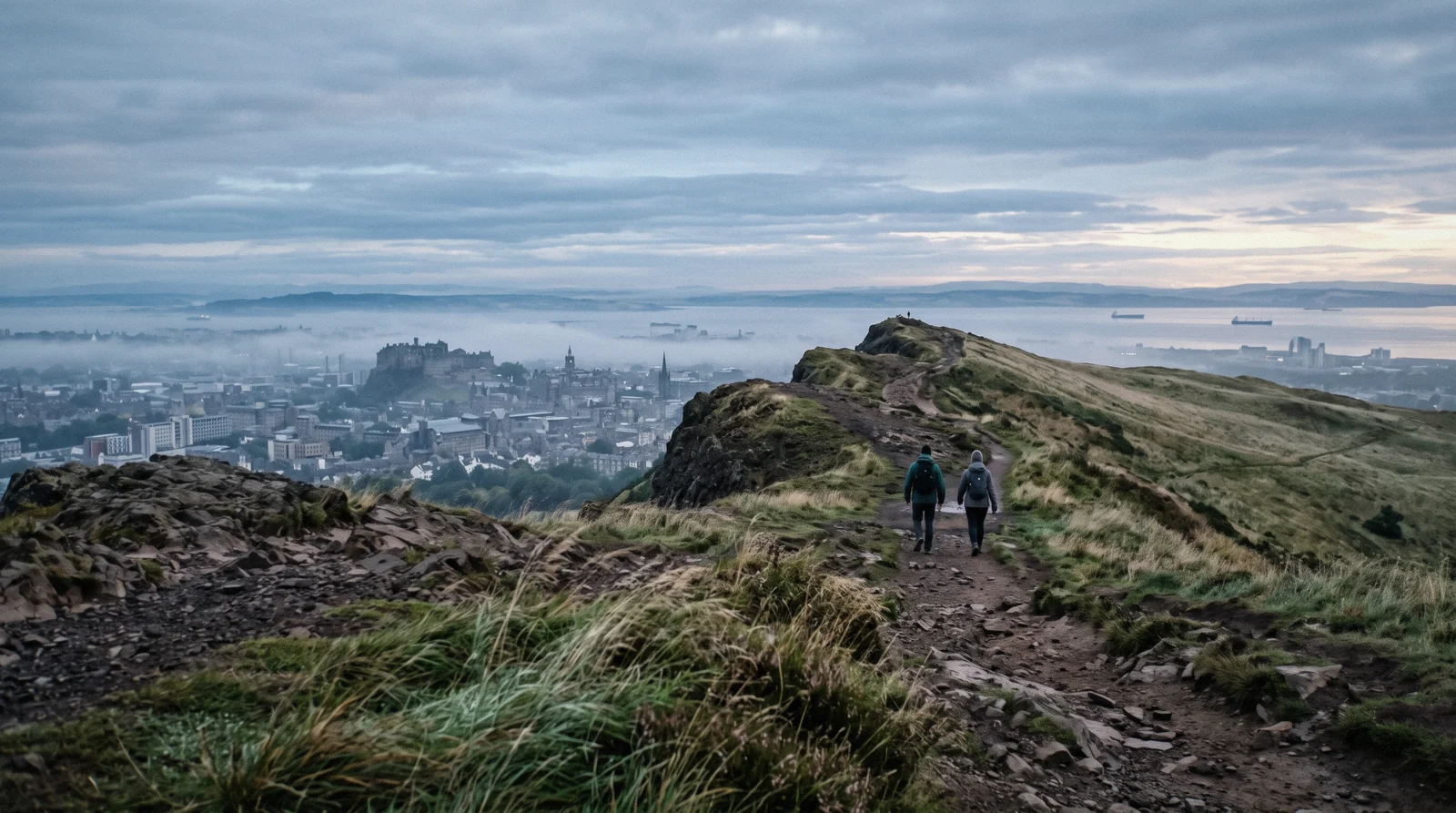
Arthur's Seat
Arthur's Seat is the eroded stump of a Carboniferous volcano standing 250.5 m (822 ft) over the east side of the city, and the walk to the top of it is the best free hour in Edinburgh. Historic Environment Scotland runs the hill and the park around it: there is no gate, no ticket and no closing time. What there is, since a rockfall in 2018, is a closed classic — the Radical Road path under Salisbury Crags that half the guidebooks still send you along. This page compares the routes that are open, what each one asks of your legs, and when the light is worth the early alarm. (Type it into a map app the way the map apps spell it — Arthurs Seat, no apostrophe — and the pin lands on the summit.) It is one stop in what to do in Edinburgh.
Quick answer Free, always open, four ways up — and one famous path that is shut
Arthur's Seat is free, ungated and open 24 hours a day, year-round — Historic Environment Scotland's own visitor page says so in those words. Most people walk up from the Palace end of Holyrood Park in 45 to 60 minutes; from Dunsapie Loch on the east side it is 20 to 30. The summit stands at 250.5 m (822 ft) and the last few metres are bare rock you use your hands on.
Key takeaways
- There is nothing to book and nothing to pay: the only money in this is £1 an hour (about $1.40) if you park, or a £2.40 bus fare (about $3.26) to the foot of the hill — the four routes compared is the whole of the planning.
- The Radical Road under Salisbury Crags — the flat panoramic path in every older guide — has been closed since a 2018 rockfall, along with the High Road and the climbing areas, so what is actually shut matters more here than what is open.
- Want a guide, a fixed start time and someone who knows which path is dry? The two-hour guided hike rates 4.9 from 124 reviews, and the sunset climb with a Mountain Leader rates 5.0 from 68.
- Sunrise swings from 04:26 in mid-June to 08:37 in mid-December, so the light and weather table sets your alarm; the flatter alternative with nearly the same skyline is Calton Hill.
Key facts
Opening hours
| Daily, all year | Open 24 hours a day, no gate |
|---|---|
| Park roads, Sat and Sun | Closed to cars all day; barriers close 08:15–09:00, reopen by 22:00 |
| Toilets, June to August | 08:00–17:00 Mon to Wed, 19:00 Thu to Sun |
| Toilets, October to March | 08:00–15:00 |
Closed None. The hill itself never closes; the Radical Road and the climbing areas are closed indefinitely; the High Road and the Duddingston Low Road are closed to motor traffic, not to walkers
Admission
- Adult
- Free — no ticket exists for the hill or the park
- Reduced
- —
- Free
- Everyone, at every hour. Parking at Broad Pavement Car Park costs £1 per hour (about $1.40), 08:30–17:30, and is not free for Historic Scotland members
Planning it
- Time needed
- Historic Environment Scotland publishes no walking times. Our routing: 45–60 minutes up from the Palace end, 20–30 from the east side, about two hours for the whole outing — which is exactly the length the guided hikes sell
- Book ahead
- Optional — walk-up usually fine
- Address
- Holyrood Park, Queen's Drive, Edinburgh (grid reference NT 26937 73683)
Nobody sells a ticket to a hill, so this compares what it actually costs to stand on the summit: on your own legs, with a guide, or with a guide and a second viewpoint. The free row is Historic Environment Scotland's own visitor page, read on 30 August 2026.
One question decides the row: do you need the hill, or do you need someone to find the route and tell you what you are standing on? The climb itself is free at any hour; everything below it is a guide.
| Way up | Price | What it covers | Cancel | Book |
|---|---|---|---|---|
| Walk up on your ownThe right choice for anyone steady on a rough path; nothing else is cheaper | Free | The whole park, 24 hours a day, no gate and no ticket of any kind | — | Official site |
| Guided hike to the summit, 2 hoursFor a first climb where the route-finding and the history are worth paying for | £24 (about $33) | Small-group guide, the route-finding, the history on the way up | Free up to 24 hours before | Check Availability |
| Sunset hike with a Mountain Leader, 2 hoursFor the summit at the golden hour with a qualified Mountain Leader | £45 (about $61) | Qualified Mountain Leader, small group, the summit at the golden hour | Free up to 24 hours before | Check Availability |
| Two hills in one walk, 3 hoursFor walkers who want both volcanic hills in one guided walk | £26 (about $35) | This summit plus the Calton Hill terrace, guided | Free up to 24 hours before | Check Availability |
The official row links straight to Historic Environment Scotland with nothing added. The guided rows are affiliate links to GetYourGuide: the price is the operator's, we take a commission if you book, and it costs you nothing extra. Prices and ratings read on 30 August 2026. The guided prices are the operators' own, listed in pounds on GetYourGuide the same day, with dollar figures at £1 = $1.36.
Guided climbs, and what each one is actually for
Three ways to hand the route-finding to somebody else. The cheap one is the straightforward morning climb; the expensive one buys a qualified Mountain Leader and the summit at sunset, which is the version worth paying for in winter when you come down in the dark. Ratings and prices are the operators' own, read on 30 August 2026.
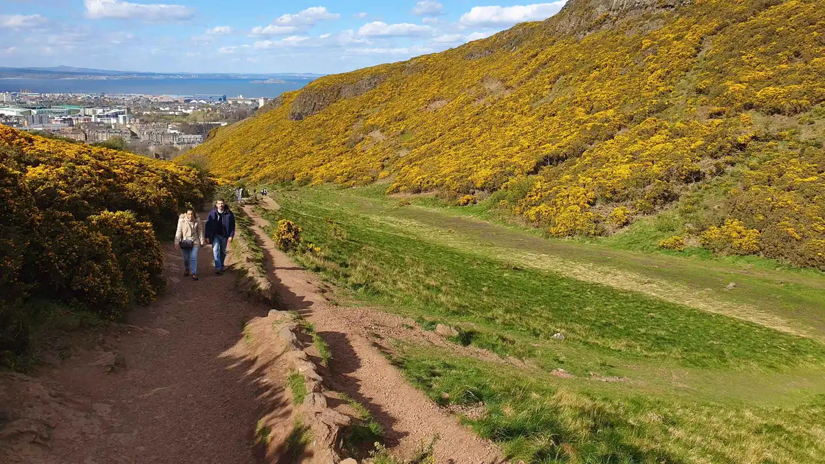 from £24
Edinburgh: Guided Hike to Arthur's Seat and Holyrood Park
Two hours up Arthur's Seat by the local paths rather than the tourist route, with time in Holyrood Park on the way. Bring your own food and water; there are no toilets once you start.
Check Availability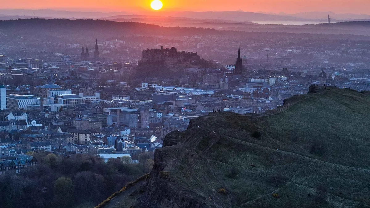 from £45
Arthur's Seat Sunset Hike
Timed so the summit lands at sunset, then a torch-lit descent on a quieter route — that timing is what the higher price buys. Led by a qualified Mountain Leader, 250 metres of climbing.
Check Availability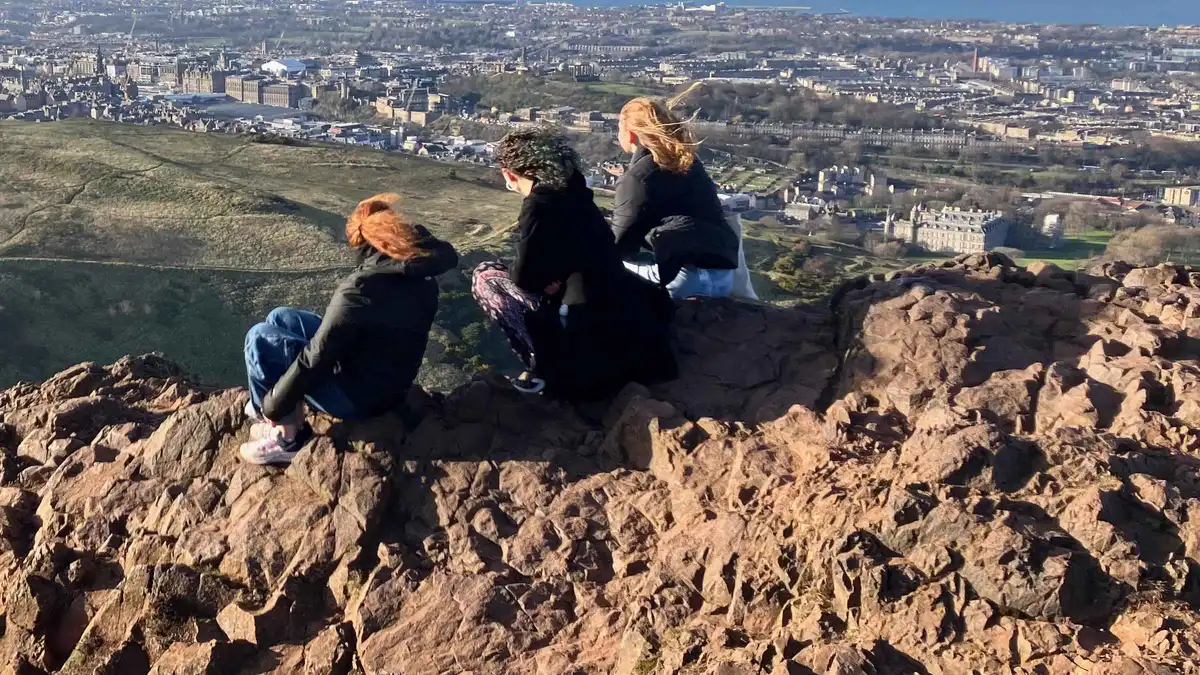 from £26
Edinburgh: Hike Arthur's Seat & Calton Hill
Adds Calton Hill and its monuments to the Arthur's Seat climb, four miles end to end across three hours at a gentle pace. Starts at Waterloo Place and finishes at the Holyrood car park.
Check AvailabilityPrices, ratings and details are the platform's own. Pound figures are the listed prices. The platform bills in your account's currency.
The four routes up, compared
Historic Environment Scotland publishes no walking times, distances or step counts for any path in Holyrood Park — we read its plan-your-visit and roads pages on 30 August 2026 and neither prints one. A band, not a timetable.
| Route | Starts at | Time up (our estimate) | How steep | Suits |
|---|---|---|---|---|
| The Palace end, past St Margaret's Loch | Holyrood Park entrance by the Palace, at the foot of the Royal Mile | 45–60 minutes | Steady climb the whole way — you gain the full height of the hill from near sea level | First-timers walking straight out of the Old Town with no transport |
| Dunsapie Loch, the east side | Dunsapie Loch, high on Queen's Drive | 20–30 minutes | Short and grassy; the road has already done most of the climbing for you | The shortest way to the top, and the one to take with tired legs or a nervous knee |
| Queen's Drive from Duddingston | The village end of the park, by Duddingston Loch | 50–70 minutes | Gentle road walking, then a stiff pull onto the ridge | A quiet approach with the loch and the reed beds on the way in |
| The Salisbury Crags path | Holyrood Park entrance by the Palace | 30–40 minutes to the crag top | Moderate on the upper path; the Radical Road along the base is closed | Almost the same view for half the effort — the answer when the summit is a step too far |
Whichever line you take, the final few metres onto the summit block are bare rock and you will use your hands. Historic Environment Scotland's own safety wording for the park is blunt: 'beware of sheer drops, uneven and slippery surfaces. Wear sturdy shoes with good grip.' The times are our own estimates at an unhurried pace with photo stops, set against the summit height of 250.5 m and the two-hour door-to-door length both guided hikes sell.
What is closed, and why your guidebook is wrong
This is the single most useful thing on the page. The classic Arthur's Seat walk in older guides — level, dramatic, running along the foot of the cliffs — no longer exists, and nobody rewrote the guides. Every closure below is a live notice on Historic Environment Scotland's own pages, read on 30 August 2026.
The Radical Road has been shut since 2018
The Radical Road runs along the top of the slope under Salisbury Crags, paved after the Radical War of 1820 with the labour of unemployed weavers from the west of Scotland, at Walter Scott's suggestion. It has been closed since 2018, when roughly 50 tons of rock came off the cliffs above it. Historic Environment Scotland says only that it is 'working on reopening parts of the path later this summer', with no date attached; a ranger-guided walk is the only sanctioned way onto it.
What this changes in practice: the flat, spectacular, ten-minutes-from-the-Palace option is gone. Anyone describing Arthur's Seat as an easy stroll under a cliff is describing a path that has been fenced for years. The open equivalent is the higher path onto the crag top in the route table above — steeper, unfenced in places, every bit as good on the view.
Climbing, the High Road and Duddingston Low Road
The rock-climbing areas are closed for safety with no reopening stated; climbing on the Crags was restricted to the South Quarry before being banned outright in 2019. The High Road is closed to motor traffic — walkers and cyclists pushing their bikes still get through — and Duddingston Low Road is closed to vehicles for rock-fall risk, so drivers picturing a scenic loop of Queen's Drive will not get one. When the High Road is open to cars it runs, along with Dunsapie Loch Car Park, Tuesday to Thursday 09:30–15:00 only.
- Radical Road, under Salisbury Crags — closed since 2018, falling rock, ranger-guided access only
- Rock-climbing areas — closed for safety, no reopening date
- High Road — closed to motor traffic; on foot it is open
- Duddingston Low Road — closed to vehicles
- All park roads — closed to vehicles every Saturday and Sunday during the day
The July 2026 fire
A wildfire burned across part of the hill in July 2026, with fire crews on the slopes and smoke over the city. It changed nothing about access, and grass and gorse recover here within a season or two — but it is why a search for the hill turns up photographs of a black hillside, and why you should keep to the paths rather than cut across regrowing ground.
How long it takes, how hard it is, and what to have on your feet
Four questions come up more than any others — how long, how hard, boots or trainers, and what to carry. Here is the honest version, with the line between what is published and what is our own judgement kept visible.
Allow two hours for the outing rather than for the climb. That is not our invention: both guided hikes are sold as two-hour products door to door, which matches an unhurried walk from the Palace end plus twenty minutes on the top. The climb itself is 45 to 60 minutes from the Palace, 20 to 30 from Dunsapie Loch, and the descent is faster on the legs and slower on the nerves.
Is it difficult? It is a hill walk, not a scramble, until the last hundred metres — and then it is a light scramble, on bare rock, with a queue of people doing the same thing on a summer afternoon. Nothing on the ordinary routes requires a rope or a head for heights, but the summit block is exposed, the wind on it is genuinely strong, and the drops on the crag side are sheer. Historic Environment Scotland's own advice for the park is to beware sheer drops, uneven and slippery surfaces, and to wear sturdy shoes with good grip.
Boots or trainers
The one fixed facility in the park is the toilet block by the Holyrood Park Education Centre behind the Palace, and its hours move with the season; these are Historic Environment Scotland's own, read on 30 August 2026.
| Season | Days | Toilets open |
|---|---|---|
| April and September | Daily | 08:00–17:00 |
| May | Daily | 08:00–18:00 |
| June to August | Monday–Wednesday | 08:00–17:00 |
| June to August | Thursday–Sunday | 08:00–19:00 |
| October to March | Daily | 08:00–15:00 |
Trainers with real tread are enough in dry weather; smooth city soles are not, and that is the commonest mistake on the hill. The volcanic rock polishes to a shine where thousands of feet cross it and behaves like wet tile after rain, which is most weeks. Boots earn their place in winter, when the upper paths hold ice long after the streets have cleared.
There is no water on the hill and no shelter of any kind on the summit — no café, no kiosk, no roof. Carry a bottle and a windproof layer even on a warm day.
With children, and with a dog
Children who walk regularly manage this happily, and the east side from Dunsapie Loch is the version to do with them: short enough to hold their interest, with the summit scramble as the fun part rather than the last straw. The crag edges are unfenced. Dogs are welcome and owners are expected to clean up; leads may be required in nesting areas.
Camping, fires, barbecues and golf are not permitted anywhere in the park, drones may not be flown from inside the park boundary without permission, and fishing in Duddingston Loch needs a free ranger permit.
Sunrise, sunset and the weather you will actually get
This is the one page in the city where the hour matters more than the day. Sunrise and sunset times below are computed for the summit's own coordinates, 55.9442 N, 3.1619 W, for 2026, with the clocks moving on 29 March and 25 October. The temperature and rainfall columns are 30-year averages from the Open-Meteo ERA5 archive for Edinburgh, 1 January 1995 to 31 December 2024, computed on 30 August 2026.
Two things jump out of the table. The first is the swing in daylight: mid-June gives a sunrise at 04:26 and a sunset at 22:00, mid-December 08:37 and 15:38.
| Month | Sunrise (15th) | Sunset (15th) | Average high | Rain |
|---|---|---|---|---|
| January | 08:33 | 16:10 | 5.9°C (43°F) | 73.9 mm |
| February | 07:37 | 17:16 | 6.7°C (44°F) | 65.5 mm |
| March | 06:27 | 18:15 | 8.2°C (47°F) | 60.8 mm |
| April | 06:06 | 20:18 | 10.5°C (51°F) | 54.2 mm |
| May | 04:59 | 21:18 | 13.4°C (56°F) | 65.6 mm |
| June | 04:26 | 22:00 | 16.0°C (61°F) | 67.3 mm |
| July | 04:48 | 21:48 | 17.8°C (64°F) | 77.6 mm |
| August | 05:44 | 20:50 | 17.6°C (64°F) | 77.8 mm |
| September | 06:44 | 19:31 | 15.5°C (60°F) | 62.9 mm |
| October | 07:44 | 18:12 | 12.2°C (54°F) | 89.9 mm |
| November | 07:49 | 16:05 | 8.5°C (47°F) | 73.0 mm |
| December | 08:37 | 15:38 | 6.2°C (44°F) | 81.1 mm |
A sunrise climb in June means leaving the Old Town in the dark at half past three; the same climb in December is a breakfast-time walk. The second is that October, not August, is the wettest month — 89.9 mm across an average 14.2 days with a millimetre or more of rain, against 54.2 mm in April, the driest month and the one with the fewest wet days.
The rain here is frequent rather than heavy. You are not planning around downpours; you are planning around a hill that is wet underfoot most of the year and a summit where a shower and a 15-degree afternoon feel colder than the number suggests.
Which hour to take
For sunrise, the east side from Dunsapie Loch is the one to walk: it is the shortest line to the top and it faces the light coming up over the Firth of Forth and East Lothian. For sunset, walk up from the Palace end and stay for the half hour after the sun goes, when the Old Town ridge lights up below you and most of the hill has already started down. That half hour is also when a torch stops being optional — the paths are unlit, and a phone torch held in one hand is not much use when the other hand is on rock.
If the forecast is closed in, skip it: cloud sits on this summit while the streets below stay clear, and there is no view from inside it. That is the day for the flat viewpoint across the valley or the museums.
Getting to the hill, parking, and the weekend road closure
The hill sits about a mile east of the castle rock, and the ordinary way to reach it is to walk to the bottom of the Royal Mile and keep going. Fares are Lothian's own, read on 30 August 2026.
On foot from the Old Town
From the Palace of Holyroodhouse at the foot of the Royal Mile, the park entrance is across the road and the path starts a minute beyond it. No transport, no fare, no planning: walk down the Mile, cross at the Scottish Parliament, and you are at the bottom of the hill.
By bus, a Lothian single is £2.40 (about $3.26) and a day ticket £6.00 (about $8.20); tapping the same card all day caps at £5.70 (about $7.75), 30p less than the paper day ticket. Cash on board must be exact — drivers give no change. Which service stops nearest depends on which end of the park you want, so read the stop board or the operator's app rather than a blog; how the fares and cards work covers the ticket.
Parking, and why it is the awkward option
Broad Pavement Car Park by the Palace charges £1 per hour (about $1.40) between 08:30 and 17:30, every day except Saturdays, Sundays, Good Friday, Easter Monday, 25–26 December and 1 January.
| What | When | Cost | Catch |
|---|---|---|---|
| Broad Pavement Car Park | Charged 08:30–17:30 daily, free on Saturdays, Sundays and the listed holidays | £1 per hour (about $1.40) | Historic Scotland members are not exempt; no overnight parking |
| Park roads | Closed to vehicles all day every Saturday and Sunday | — | Barriers start closing 08:15–09:00, reopen by 22:00 |
| High Road and Dunsapie Loch Car Park | Tuesday–Thursday 09:30–15:00 when open | — | Currently closed to motor traffic altogether |
| Lothian bus to the foot of the hill | All day | £2.40 single, £6.00 day (about $3.26 / $8.16) | Exact cash only on board; capping works through the tap card, not plain contactless |
Historic Scotland membership does not exempt you from that charge, which surprises members every week. Overnight parking is not permitted anywhere in the park, and the speed limit throughout is 20 mph.
The closure that catches people out is the weekend one: all park roads shut to vehicles during the day every Saturday and Sunday, barriers starting to close between 08:15 and 09:00 and reopening by 22:00, with only Broad Pavement, Meadowbank and Duddingston car parks still reachable. With the High Road closed to motor traffic and Duddingston Low Road closed to vehicles as well, driving into this park is more trouble than walking to it — and the car-free weekend is the nicest time to be inside it on foot.
A volcano, a hill fort and seventeen tiny coffins
The hill is older than anything else in this guide by a margin that is hard to hold in the head, and it has been useful to people for most of the time they have been here.
341 million years, and the birth of geology
Arthur's Seat is the eroded plumbing of an early Carboniferous volcanic system; lava samples from it have been dated at 341 to 335 million years old. A glacier moving west to east through the last two million years scraped the softer material away, leaving crags on the western side and a long tail of debris to the east — the same crag-and-tail shape that carries the castle rock and the Royal Mile a mile away.
Salisbury Crags, the cliff below the summit, is where James Hutton saw in the eighteenth century that igneous rock had forced its way through the sedimentary layers above it, and therefore that the two had formed at different times and in different ways. The spot is still called Hutton's Section: modern geology begins, in a real sense, on this hill.
The name, and the fort at the top
The Gaelic is Suidhe Artair. An early recorded name in the charters of Holyrood Abbey is Craggenmarf, sometimes simply the Crag, and the first Arthurian version of the name appears in 1508, spelled Arthurissete. Whether it has anything to do with King Arthur is unresolved: several hilltops across Britain carry the same or similar names, and the hill is regularly floated as a candidate for Camelot without a shred of settled evidence. Robert Louis Stevenson, who knew it better than most, called it 'a hill for magnitude, a mountain in virtue of its bold design'.
A hill fort occupies the summit and the neighbouring top of Crow Hill, with further defences visible at Dunsapie Hill and above Samson's Ribs — probably centres of power of the Votadini, the people behind the poem Y Gododdin of around AD 600. Tradition puts the founding of Holyrood Abbey and the Palace at the foot of this hill, where David I is said to have seen a cross between a stag's antlers while hunting.
The seventeen coffins
In 1836 five boys hunting rabbits found seventeen miniature coffins hidden in a cave on the crags, each holding a small carved wooden figure. Nobody has established what they were for: the contemporary explanation was witchcraft, and a later suggestion connects them with the Burke and Hare murders of 1828, although the arithmetic is imperfect — the victims were mostly women and the surviving figures are male. Eight of the coffins survive and are displayed at the National Museum of Scotland, free to enter and a short walk from the bottom of the hill.
The hill, the trailheads and what is closed
The summit, the two shortest starting points and the closed path under the crags. Summit and loch positions are from Wikidata; the trailheads are approximate to within a minute's walk.
What to do at the bottom of the hill
Walking times are our estimates, measured from the park entrance by the Palace.
Palace of Holyroodhouse
Directly across the road from the park gate, and the obvious pairing: a ticketed hour indoors after a free hour outdoors. The Palace page has the hours, the closure dates and what the ticket includes.
2 min walkThe Royal Mile
The hill sits at the bottom of it. Walking up the Mile afterwards puts the closes, the cathedral and lunch in the right order. The Royal Mile page runs the street end to end.
5 min walk uphillCalton Hill
The other volcanic stub, with the columns on top and no real climb — the shot of the Old Town ridge that people think they are getting from this summit. The guided walk that does both links them in three hours.
25 min walkArthur's Seat questions
How long does it take to climb Arthur's Seat?
Allow two hours for the whole outing and 45 to 60 minutes for the climb itself from the Palace end, or 20 to 30 minutes from Dunsapie Loch on the east side. Historic Environment Scotland publishes no walking times at all, so those are our estimates — but both guided hikes are sold as two-hour products door to door, which is the closest thing to a published figure that exists. The route table has all four options.
Is Arthur's Seat a difficult walk?
It is a hill walk rather than a scramble until the last stretch, where the path becomes bare rock and most people use their hands. Reasonably fit walkers manage it; the real difficulties are the wind on the exposed summit, polished rock underfoot when wet, and unfenced drops on the crag side. If that sounds like too much, the Salisbury Crags path gives most of the view for half the effort and Calton Hill asks for no climb at all.
Do I need walking boots for Arthur's Seat?
No, but you need grip. Trainers with real tread are fine in dry weather; smooth city soles are the commonest mistake, because the rock polishes to a shine where feet cross it and turns slick in rain. Boots earn their place in winter. Historic Environment Scotland's wording for the park is to wear sturdy shoes with good grip — what to carry has the rest, including the fact that there is no water on the hill.
Is the Radical Road under Salisbury Crags open?
No. It has been closed since 2018, when about 50 tons of rock fell from the cliffs above it, and Historic Environment Scotland says only that it is working on reopening parts of the path, with no date given. Ranger-guided walks are the only sanctioned way onto it. The climbing areas are closed too. What is shut and what replaces it is the section to read before you follow an older guidebook.
Why is it called Arthur's Seat?
Nobody knows. An early name in the Holyrood Abbey charters is Craggenmarf; the first Arthurian spelling, Arthurissete, appears in 1508. The King Arthur connection is a guess repeated for five centuries, and several other British hilltops carry similar names. The history section covers the hill fort at the summit and the Votadini, who were here long before the name was.
Can I drive up, and where do I park?
You cannot drive to the summit — no road goes there. Broad Pavement Car Park by the Palace charges £1 per hour (about $1.40) from 08:30 to 17:30, Historic Scotland members included, and overnight parking is banned park-wide. All park roads close to vehicles every Saturday and Sunday, and the High Road is closed to motor traffic indefinitely. The parking table has the detail; walking from the bottom of the Royal Mile is simpler.
What time is sunrise at the summit, and is it safe in the dark?
Sunrise ranges from about 04:26 in mid-June to 08:37 in mid-December, and sunset from 22:00 to 15:38 — the month table has all twelve. The park is open 24 hours and people walk it in the dark all year, but the paths are unlit and the crag edges are unfenced, so carry a proper torch rather than a phone. If you would rather not do the descent in the dark on your own, the sunset hike with a Mountain Leader exists precisely for that.
What are the Arthur's Seat coffins?
Seventeen miniature coffins with carved wooden figures inside, found by five boys hunting rabbits in a cave on the crags in 1836. Nobody has established what they were for — witchcraft and the Burke and Hare murders are the standing theories. Eight survive and are displayed at the free National Museum of Scotland, a short walk from the foot of the hill.
The version of this that works
Walk down the Royal Mile early, cross at the Parliament, and go up from the Palace end while the hill is empty — an hour up with stops, twenty minutes on the top, forty minutes down. Come off by eleven, cross the road to the Palace for the ticketed hour indoors, and you have done the best free thing and the best royal thing in the city before lunch, for the price of one ticket.
If mornings are not happening, invert it: the sunset climb with a Mountain Leader puts you on the summit at the golden hour with someone to bring you down afterwards, and in December that sunset is 15:38 — an afternoon outing, not a late one.
The rest of the city, with the same hours-price-map treatment on every page, starts from things to do in Edinburgh.
The routes and the summit, on film
Three walk-throughs that answer what a page cannot: how steep the last stretch really looks, and how different the easy line is from the hard one. Ids copied from our verified list, embedded without cookies.
The three routes up, compared on the ground
A walk-through of the main lines to the summit, which is the fastest way to see why the east side is the short one.
Video: Sports Travel TomThe easier way to the view
The gentler approach filmed end to end — useful if the scramble at the top is the part you are unsure about.
Video: Clan BroonfordWhy this is the walk everyone does
The summit, the ridge and the city below it in one short film, shot on a clear day.
Video: Sports Travel TomThird-party videos. Neither the channels nor the videos are connected to this site.
Prices, hours and terms are set by the venue or operator and confirmed at checkout.
We may earn a commission if you book through one of our links, at no extra cost to you. Full affiliate disclosure